SAT-PP (SATellite image Precision Processing) is a software package for the advanced processing of (very) high resolution single, stereo and multiple satellite images.
SAT-PP supports the whole processing chain from radiometric preprocessing, ground control points (GCPs)
measurement and image orientation to automatic DSM generation, orthophoto generation and feature extraction. The software consists of the
following components:
(a) User interface for project and data management, image format
conversion and pre-processing, image display / roaming in mono and stereo
modes
(b) Sensor orientation, designed for the high-resolution Linear Array
sensor geometry. On-line quality control and error analysis via
interaction with graphics elements. Ground control point (GCP) and tie
point measurement in manual and semi-automated modes
(c) Derivation of quasi-epipolar images for stereo mapping and feature
collection
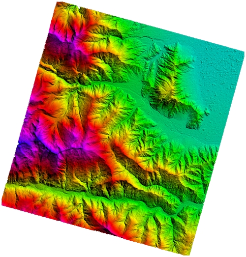
(d) Automated DSM generation by using a precise and robust image matching
approach and stereoscopic checking of the automatically
matched features
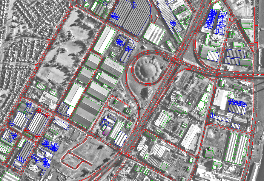
(e) Generation of orthorectified images
(f) Mono-plotting functions, stereoscopic measurement and collection of
objects with particular emphasis on 3D city modeling
(g) Pan-sharpened image generation.
For further details, please contact us at info@4dixplorer.com.
Download the brochure in pdf format