4dixplorer
Our Services
Our group consists of high-level geomatics experts, with vast experience
in geospatial data processing. Therefore we can help our customers to solve their
needs and optimize their projects and workflows.
Get better results - talk to the experts!
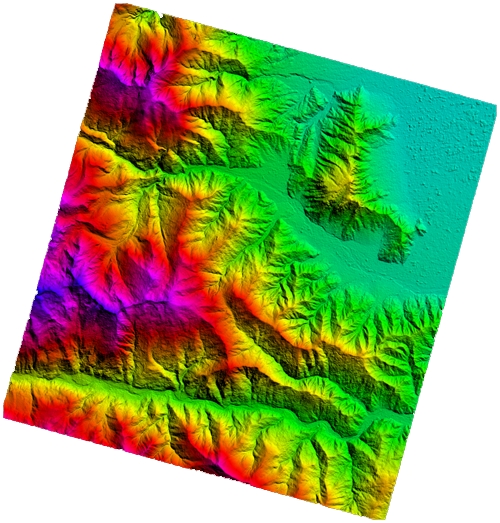
Photogrammetric Data Processing
Satellite Images- Image orientation (rigorous models or rational functions)
|
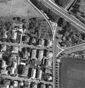
Aerial Images- Epipolar image generation
|
 |
 |
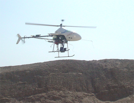
UAV Photogrammetry
|
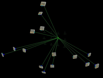
Close Range- Camera calibration
|
 |
 |