4dixplorer
Our Services
Our group consists of high-level geomatics experts, with vast experience in
geospatial data processing. Therefore we can help our customers to solve their
needs and optimize their projects and workflows.
Get better results - talk to the experts!
3D Modeling of Objects and Sites
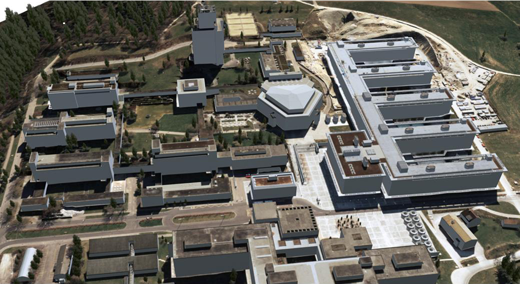
3D City modelingWe build reality-based 3D city models from satellite and aerial images or Lidar data. The roof and facade texturing is obtained automatically or semi-automatically from oblique or nadir aerial images or terrestrial pictures. The applications of our models are in the fields of urban monitoring and planning, architecture, civil engineer, tourism, animation, and so on. |
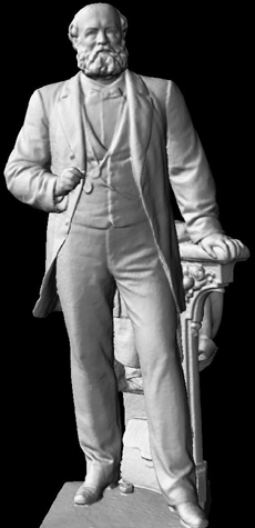
Object modeling3D model of objects are realized using images or range data (laser scanners or stripe projection systems).
According to the project, dense or sparse point clouds are derived and then
converted into textured meshes for photo-realistic visualization. |
|
 |
  |
|
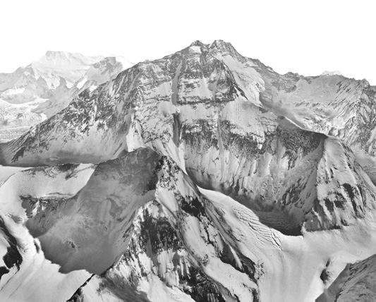
Landscape modelingLandscape models are derived, mostly automatically, from satellite, aerial and UAV images and from LiDAR data. Realistic texturing is done fully automatically. This data can be amended with other 3D objects like buildings, landuse information, etc. and create the database for GIS. |
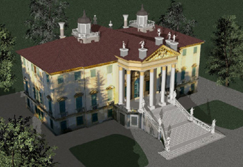
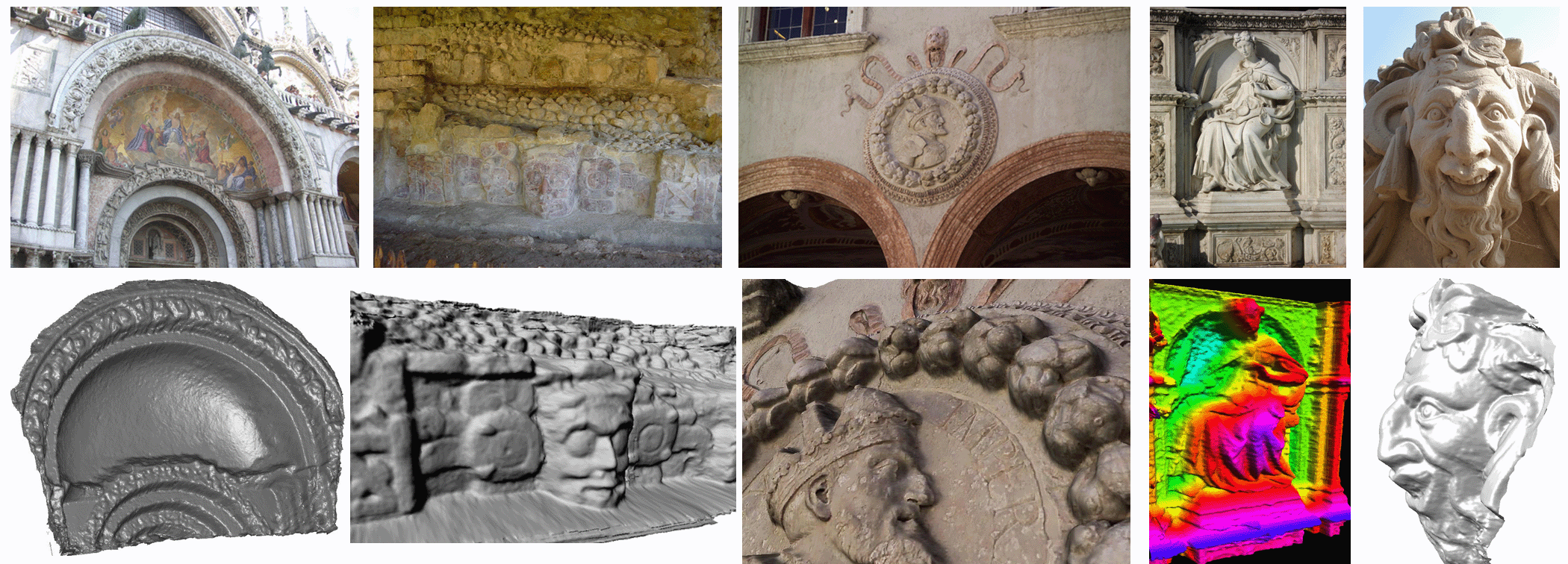
Cultural HeritageWe have developed reliable and precise methodologies for the detailed and accurate 3D documentation and digital conservation of Cultural Heritage. The 3D models are then used for visualization purposes, physical replicas, virtual reality, conservation policies, etc. |
|
 |
 |
|