4dixplorer

  • Home
  • Software
  • Services
  • Projects
  • News
  • Contact Us

We are the best option for 3D modeling services and related software.

4DiXplorer AG is a spin-off company of ETH Zurich (Switzerland). We offer advanced software and customized solutions for geospatial data acquisition and processing. Our main areas of expertise are: 3D high accurate processing of satellite, aerial, UAV and terrestrial images, reality-based virtual modeling of objects and environments based on image or laser scanning data. We also offer software development, knowledge and technology transfer (courses and tutorials) and project consultancy.
 

Satellite and Aerial Images

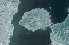
Photogrammetric images (terrestrial, UAV, aerial or satellite) are processed with advanced and innovative methodologies for 3D geospatial and other spatially related applications.

More
Virtual Modeling of Objects

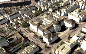
3D modeling of sites, objects and processes is performed using images and laserscanners to derive accurate data for documentation, conservation, visualization, animation, analysis, physical replicas, etc.

More
Software Development

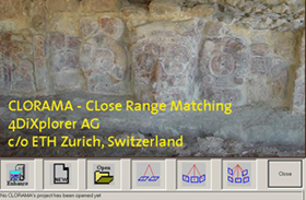
We have customized solutions and packages for camera calibration, image orientation, surface measurements, data alignment, change detection, quality inspection and assessment, orthophoto generation, etc.

More
All Rigths Reserved 2009 | 4dixplorer.com Home Software Services Projects News Contact Us